 |
Monitoring of the development of flood processes, floodings and their consequences |
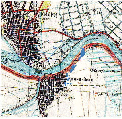
The thematic map of the water-covered land surface; it was laid outfrom the radar data. The land regions, covered by water, are shown the dark blue colour
![]()
![]()
![]()
![]()
© CRSE, April 1998
These days it is very easy to find this place on Google maps: