 |
Monitoring of the development of flood processes, floodings
and their consequences
|

 |
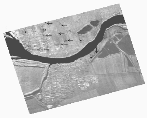
The radar image, acquired in the summer of 1997 of the flooding consequences
in region of the town of Kiliya. Surface regions, covered water, are shown
arrows


© CRSE, April 1998